
(ICLUERS - 26) | Hybrid Event
30th - 31st May 2026 |
Marigot, Dominica
(ICLUERS - 26) | Hybrid Event
30th - 31st May 2026 |
Marigot, Dominica
Aligned with
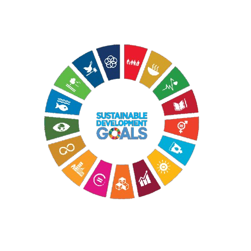
This conference contributes to global sustainability by aligning its research discussions and academic sessions with key United Nations Sustainable Development Goals. It fosters knowledge exchange, innovation, and collaborative engagement.
 SDG 9 — Industry, Innovation and Infrastructure
 SDG 11 — Sustainable Cities and Communities
 SDG 12 — Responsible Consumption and Production
 SDG 13 — Climate Action
This track focuses on the latest innovations in remote sensing technologies, including satellite and aerial imagery. Discussions will encompass sensor advancements and their applications in land use engineering.
This session will explore the integration of Geographic Information Systems in urban planning processes. Emphasis will be placed on case studies demonstrating effective land use management through GIS.
This track will delve into methodologies for terrain analysis and feature extraction using remote sensing data. Participants will discuss the implications of these techniques for land use engineering.
This session will address the role of predictive modeling in forecasting land use changes and impacts. Attendees will share insights on modeling techniques and their applications in sustainable development.
This track will focus on the application of data analytics in monitoring infrastructure through remote sensing. Participants will discuss methodologies for assessing infrastructure resilience and performance.
This session will examine the use of remote sensing for environmental assessment and management. Case studies will highlight the effectiveness of these technologies in evaluating land use impacts.
This track will explore various sensor technologies and their applications in land use engineering. Discussions will include advancements in sensor design and data acquisition techniques.
This session will focus on optimizing processes in remote sensing applications for enhanced efficiency. Participants will discuss best practices and innovative approaches to streamline workflows.
This track will address the intersection of sustainable development and remote sensing technologies. Discussions will center on how remote sensing can support sustainable land use practices.
This session will explore the role of remote sensing in enhancing urban resilience against environmental challenges. Participants will discuss strategies for integrating remote sensing into urban planning frameworks.
This track will highlight innovative applications of satellite imagery in various domains of land use engineering. Case studies will illustrate the transformative potential of satellite data in decision-making processes.


SNRI maintains uninterrupted academic processes in the current global situation. Participants can engage and publish through online and blended conference formats.
PLEASE READ: CLOSING ENABLED IN 20S