
(ICBDIG - 26) | Hybrid Event
19th - 20th May 2026 |
Maseru, Lesotho
(ICBDIG - 26) | Hybrid Event
19th - 20th May 2026 |
Maseru, Lesotho
Aligned with
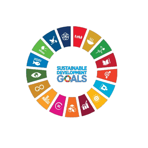
This conference contributes to global sustainability by aligning its research discussions and academic sessions with key United Nations Sustainable Development Goals. It fosters knowledge exchange, innovation, and collaborative engagement.
 SDG 4 — Quality Education
 SDG 9 — Industry, Innovation and Infrastructure
 SDG 11 — Sustainable Cities and Communities
 SDG 13 — Climate Action
 SDG 15 — Life on Land
 SDG 16 — Peace, Justice and Strong Institutions
 SDG 17 — Partnerships for the Goals
This track focuses on the latest advancements in integrating diverse geospatial datasets for enhanced analysis. Participants will explore methodologies and technologies that facilitate seamless data fusion and interoperability.
This session will delve into the application of big data analytics within GIS frameworks. Researchers will present case studies demonstrating the impact of large-scale data processing on spatial decision-making.
This track highlights innovative techniques and tools for spatial analytics in various domains. Attendees will gain insights into the methodologies that drive effective geospatial analysis and visualization.
This session will explore the role of geoinformatics in monitoring environmental changes and managing natural resources. Presentations will cover applications of GIS in climate studies, biodiversity assessment, and pollution tracking.
This track examines the use of predictive modeling techniques in geospatial contexts to forecast trends and patterns. Participants will discuss the integration of machine learning and GIS for enhanced predictive capabilities.
This session focuses on the development and application of spatial decision support systems (SDSS) in various sectors. Researchers will present frameworks that leverage GIS for improved decision-making processes.
This track investigates the intersection of geospatial computing and cloud technologies. Discussions will center on how cloud-based solutions can enhance the scalability and accessibility of GIS applications.
This session will showcase innovative data visualization techniques tailored for geospatial data. Participants will explore how effective visualization can enhance understanding and communication of complex spatial information.
This track highlights the application of GIS frameworks in urban planning and development. Presentations will cover case studies that illustrate the role of geospatial analysis in sustainable urban growth.
This session will focus on emerging technologies and innovative practices in the field of geospatial science. Attendees will discuss trends that are shaping the future of GIS and geospatial analytics.
This track addresses the challenges and strategies associated with spatial data management and governance. Discussions will include best practices for data stewardship and the ethical implications of geospatial data use.


SNRI maintains uninterrupted academic processes in the current global situation. Participants can engage and publish through online and blended conference formats.
PLEASE READ: CLOSING ENABLED IN 20S