
(ICGACH - 26) | Hybrid Event
19th - 20th May 2026 |
Cuenca, Ecuador
(ICGACH - 26) | Hybrid Event
19th - 20th May 2026 |
Cuenca, Ecuador
Aligned with
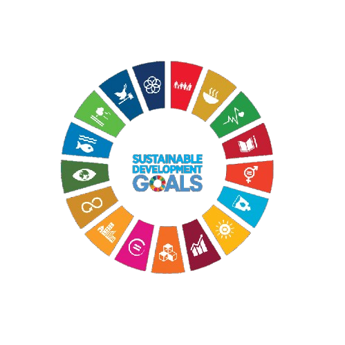
This conference contributes to global sustainability by aligning its research discussions and academic sessions with key United Nations Sustainable Development Goals. It fosters knowledge exchange, innovation, and collaborative engagement.
 SDG 4 — Quality Education
 SDG 9 — Industry, Innovation and Infrastructure
 SDG 11 — Sustainable Cities and Communities
This track focuses on the latest advancements in GIS technologies and their applications in archaeological research. Participants will explore case studies demonstrating the integration of GIS tools in archaeological mapping and site analysis.
This session will examine the role of GIS in the conservation of cultural heritage sites. Discussions will include methodologies for assessing and managing heritage risks using geospatial data.
This track emphasizes the importance of integrating diverse spatial data sources in archaeological studies. Presentations will highlight techniques for synthesizing data to enhance archaeological interpretation and understanding.
This session will delve into the modeling techniques utilized in heritage GIS applications. Participants will learn about the development of spatial models that support heritage site management and decision-making.
This track will explore the application of geoinformatics in the effective management of cultural resources. Case studies will illustrate how GIS can facilitate the preservation and promotion of cultural heritage.
This session will present innovative methods in spatial archaeology, focusing on the use of GIS for archaeological data analysis. Participants will discuss the implications of spatial approaches for understanding past human behaviors.
This track will showcase cutting-edge geospatial visualization techniques that enhance the representation of heritage sites. Presenters will discuss the impact of visualization on public engagement and education in archaeology.
This session will explore various GIS frameworks designed specifically for cultural preservation efforts. Discussions will include best practices for implementing GIS in heritage management and planning.
This track will address the challenges faced in mapping heritage sites using GIS technologies. Participants will share solutions and strategies for overcoming obstacles in data collection and analysis.
This session will highlight innovative geospatial technologies and their transformative effects on archaeological research. Participants will explore how new tools and methodologies are reshaping the field.
This track will focus on the application of GIS in assessing risks to cultural heritage sites. Presentations will discuss methodologies for evaluating vulnerabilities and developing mitigation strategies.


SNRI maintains uninterrupted academic processes in the current global situation. Participants can engage and publish through online and blended conference formats.
PLEASE READ: CLOSING ENABLED IN 20S