(ICRSHESP - 26) | Hybrid Event
20th - 21st June 2026 |
Ho Chi Minh City, Vietnam
(ICRSHESP - 26) | Hybrid Event
20th - 21st June 2026 |
Ho Chi Minh City, Vietnam
Aligned with
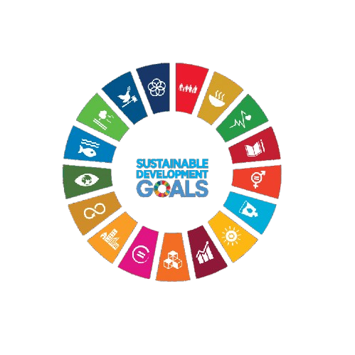
This conference contributes to global sustainability by aligning its research discussions and academic sessions with key United Nations Sustainable Development Goals. It fosters knowledge exchange, innovation, and collaborative engagement.
 SDG 2 — Zero Hunger
 SDG 6 — Clean Water and Sanitation
 SDG 12 — Responsible Consumption and Production
 SDG 13 — Climate Action
 SDG 15 — Life on Land
This track focuses on the latest technological advancements in remote sensing that enhance the monitoring of hydrological processes. Participants will explore innovative satellite and aerial platforms that improve data acquisition and analysis for water resource management.
This session will delve into the integration of Geographic Information Systems (GIS) with hydrological modeling techniques. Researchers will present case studies that demonstrate the effectiveness of GIS in watershed management and hydrological assessments.
This track will examine the methodologies and technologies used in satellite-based precipitation monitoring. Discussions will include the accuracy and reliability of satellite data in hydrological forecasting and water resource planning.
This session will cover the development and application of land surface models in understanding hydrological processes. Participants will discuss the role of these models in simulating water dynamics and their implications for environmental management.
This track will focus on various methodologies for estimating evapotranspiration using remote sensing data. Researchers will share insights on the implications of accurate evapotranspiration estimates for agricultural and hydrological applications.
This session will explore techniques for analyzing soil moisture through remote sensing technologies. The discussions will highlight the importance of soil moisture data in agricultural productivity and water resource management.
This track will investigate the dynamics of surface water bodies as observed through remote sensing techniques. Presentations will focus on the implications of surface water changes for ecosystem health and water resource management.
This session will emphasize the importance of hydrological observations in understanding water cycle dynamics. Participants will discuss strategies for integrating observational data with remote sensing information for enhanced hydrological modeling.
This track will cover the application of geospatial techniques in hydrology, focusing on spatial data analysis and visualization. Researchers will present innovative approaches to hydrological mapping and watershed analysis.
This session will focus on the methodologies used for hydrological mapping and their applications in water resource management. Participants will explore case studies that demonstrate the impact of effective mapping on policy and decision-making.
This track will highlight innovative approaches to monitoring watershed health and dynamics using remote sensing technologies. Discussions will include the challenges and successes of implementing these approaches in various geographical contexts.


SNRI maintains uninterrupted academic processes in the current global situation. Participants can engage and publish through online and blended conference formats.
PLEASE READ: CLOSING ENABLED IN 20S