
(ICGHWR - 26) | Hybrid Event
22nd - 23rd July 2026 |
Baku, Azerbaijan
(ICGHWR - 26) | Hybrid Event
22nd - 23rd July 2026 |
Baku, Azerbaijan
Aligned with
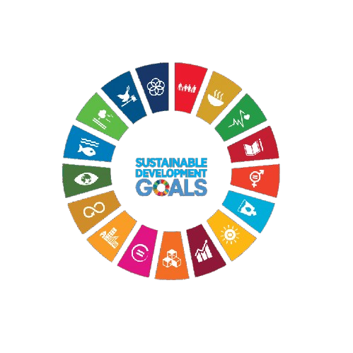
This conference contributes to global sustainability by aligning its research discussions and academic sessions with key United Nations Sustainable Development Goals. It fosters knowledge exchange, innovation, and collaborative engagement.
 SDG 6 — Clean Water and Sanitation
 SDG 9 — Industry, Innovation and Infrastructure
 SDG 11 — Sustainable Cities and Communities
 SDG 13 — Climate Action
 SDG 14 — Life Below Water
 SDG 15 — Life on Land
 SDG 16 — Peace, Justice and Strong Institutions
 SDG 17 — Partnerships for the Goals
This track focuses on advanced methodologies in hydrological modeling, emphasizing the integration of GIS tools. Participants will explore innovative approaches to simulate hydrological processes and assess water resource management strategies.
This session addresses the application of GIS in monitoring and assessing water quality across various ecosystems. Discussions will include the use of spatial data to identify pollution sources and trends in water quality over time.
This track examines effective watershed management practices utilizing GIS technologies. It aims to highlight case studies that demonstrate the role of spatial analysis in sustainable watershed planning and conservation.
Focusing on groundwater resources, this session explores GIS applications in groundwater modeling and management. Participants will discuss techniques for assessing aquifer characteristics and sustainable extraction practices.
This track delves into the modeling of surface water systems using GIS tools to enhance understanding of hydrological dynamics. It will cover methodologies for flood modeling, runoff analysis, and water resource allocation.
This session emphasizes the importance of integrating diverse hydrological datasets for comprehensive analysis. Participants will explore visualization techniques that enhance data interpretation and decision-making in water resource management.
This track showcases cutting-edge geospatial technologies that facilitate effective water resource planning. Discussions will include the role of remote sensing and spatial decision support systems in optimizing water management.
This session focuses on the application of GIS in flood modeling and risk assessment. Participants will examine methodologies for predicting flood events and developing mitigation strategies to protect vulnerable communities.
This track addresses the intersection of water sustainability practices and governance frameworks. It will explore how GIS can support policy-making and stakeholder engagement in water resource management.
This session investigates the role of geospatial hydrology in assessing environmental impacts related to water resources. Participants will discuss case studies that demonstrate the application of GIS in environmental monitoring and management.
This track focuses on the challenges and strategies in river basin management using GIS tools. Discussions will include integrated approaches to managing water resources, ecosystems, and human activities within river basins.


SNRI maintains uninterrupted academic processes in the current global situation. Participants can engage and publish through online and blended conference formats.
PLEASE READ: CLOSING ENABLED IN 20S