
(ICRSGISA - 26) | Hybrid Event
5th - 6th August 2026 |
Jerez de la Frontera, Spain
(ICRSGISA - 26) | Hybrid Event
5th - 6th August 2026 |
Jerez de la Frontera, Spain
Aligned with
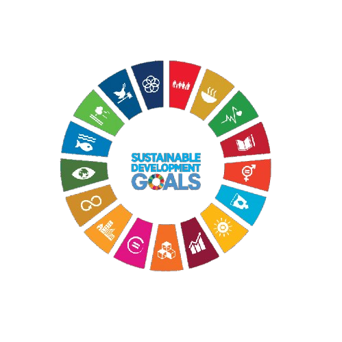
This conference contributes to global sustainability by aligning its research discussions and academic sessions with key United Nations Sustainable Development Goals. It fosters knowledge exchange, innovation, and collaborative engagement.
 SDG 2 — Zero Hunger
 SDG 9 — Industry, Innovation and Infrastructure
 SDG 11 — Sustainable Cities and Communities
 SDG 12 — Responsible Consumption and Production
 SDG 13 — Climate Action
 SDG 15 — Life on Land
This track focuses on the latest innovations in remote sensing technologies, including satellite and aerial platforms. Participants will explore how these advancements enhance data acquisition and analysis in Earth sciences.
This session emphasizes the application of geospatial analysis techniques in monitoring environmental changes. Researchers will present case studies that demonstrate the effectiveness of these methods in assessing land use and natural resource management.
This track highlights the role of satellite imagery in understanding and modeling climate change impacts. Presentations will cover various applications, including temperature mapping, vegetation analysis, and disaster response.
This session delves into innovative spatial data modeling and visualization techniques that facilitate better understanding of complex geospatial phenomena. Attendees will learn about tools and methodologies that enhance data interpretation and decision-making.
This track explores the integration of geoinformatics in urban planning and sustainable development. Discussions will focus on how spatial data and GIS applications can inform policy-making and urban design.
This session addresses the critical role of earth observation technologies in disaster preparedness and response. Participants will examine case studies that illustrate the use of remote sensing in assessing disaster impacts and recovery efforts.
This track showcases the latest innovations in digital mapping and cartography, emphasizing their applications in various fields. Presenters will discuss new techniques for creating accurate and interactive maps that enhance user engagement.
This session focuses on methodologies for land use analysis using remote sensing data. Researchers will present findings on land cover changes and their implications for environmental management and policy.
This track explores the diverse applications of Lidar technology in Earth sciences, including topographic mapping and vegetation analysis. Participants will discuss the advantages of Lidar in capturing high-resolution spatial data.
This session highlights the use of drone mapping technologies in precision agriculture practices. Presentations will cover how aerial imagery and data analytics can optimize agricultural productivity and sustainability.
This track examines the importance of spatial databases in managing and analyzing geospatial data. Researchers will discuss best practices for database design and implementation to support effective geospatial research.


SNRI maintains uninterrupted academic processes in the current global situation. Participants can engage and publish through online and blended conference formats.
PLEASE READ: CLOSING ENABLED IN 20S