(ICRSG - 27) | Hybrid Event
4th - 5th June 2027 |
Can Tho, Vietnam
(ICRSG - 27) | Hybrid Event
4th - 5th June 2027 |
Can Tho, Vietnam
Aligned with
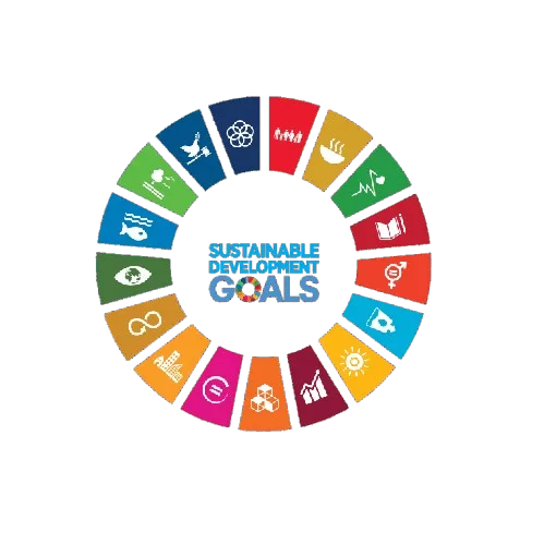
This conference contributes to global sustainability by aligning its research discussions and academic sessions with key United Nations Sustainable Development Goals. It fosters knowledge exchange, innovation, and collaborative engagement.
 SDG 6 — Clean Water and Sanitation
 SDG 9 — Industry, Innovation and Infrastructure
 SDG 11 — Sustainable Cities and Communities
 SDG 13 — Climate Action
 SDG 14 — Life Below Water
 SDG 15 — Life on Land
This track focuses on the latest innovations in remote sensing technologies, including optical and microwave methods. Participants will explore the implications of these advancements for various applications in environmental monitoring and resource management.
This session will delve into the integration of remote sensing data in meteorological research and forecasting. Topics will include satellite observations, data assimilation techniques, and their impact on weather prediction accuracy.
This track examines the role of remote sensing in climatological studies, highlighting trends in climate change and variability. Discussions will focus on challenges in data interpretation and the need for interdisciplinary approaches.
This session emphasizes the application of GIS technologies in environmental science, particularly in spatial analysis and modeling. Participants will share case studies that demonstrate the effectiveness of GIS in addressing environmental issues.
This track is dedicated to the exploration of marine mapping techniques and their applications in oceanographic research. Topics will include bathymetric mapping, habitat characterization, and the use of remote sensing in marine resource management.
This session will cover advancements in geodetic survey methods, including GNSS and terrestrial techniques. Participants will discuss the implications of these innovations for land surveying and infrastructure development.
This track focuses on the integration of remote sensing in hydrological surveys, addressing water resource management and flood monitoring. Participants will explore methodologies for assessing water quality and quantity using remote sensing data.
This session examines techniques for remote sensing of atmospheric parameters, including aerosols, greenhouse gases, and weather phenomena. Discussions will highlight the importance of these measurements for climate modeling and environmental policy.
This track explores the effects of the space environment on remote sensing technologies and data accuracy. Participants will discuss challenges posed by space weather and potential solutions for mitigating these impacts.
This session will investigate the integration of remote sensing technologies within aviation systems. Topics will include the use of aerial platforms for environmental monitoring and the implications for aviation safety and efficiency.
This track focuses on the principles and applications of photogrammetry in various fields, including urban planning and environmental assessment. Participants will share innovations in data acquisition and processing techniques to enhance accuracy and efficiency.